Utah Tar Sands

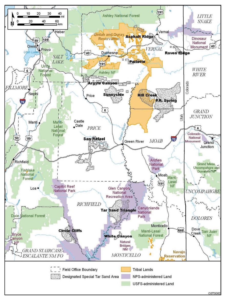
BLM (2007), Draft Oil Shale and Tar Sands Resource Management Plan Amendment to Address Land Use Allocations in Colorado, Utah, and Wyoming and Programmatic Environment Impact Statement, Volume 1, 1-5.
Why PR Spring?
The PR Spring asset is located within a proven oil and gas producing basin that has been extensively studied by both private and government agencies.
Many cored wells have been drilled to delineate the tar sand estimated reserves. The PR Spring asset lies far north of most of the national parks. Finally, many of the refineries in nearby Salt lake City have been tuned to process syncrude from tar sand such as the ones found at PR Spring.
Reserves
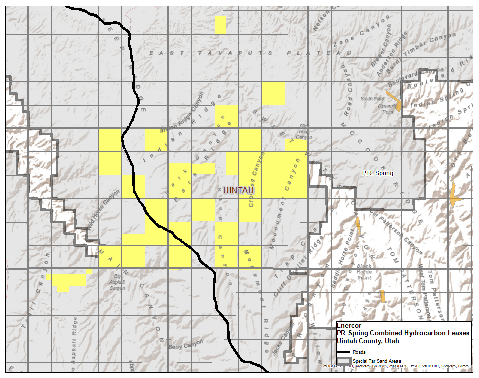
There have been many studies completed on the PR Spring tar sand unit throughout its history. The resource potential for tar sands is immense with billions of barrels in place. An independent study completed for Enercor leases approximated 545 million barrels on the Enercor leases alone (yellow on map), with the richest of these resources residing proximal to the main road seen on the map in black.
Enercor Tar Sands
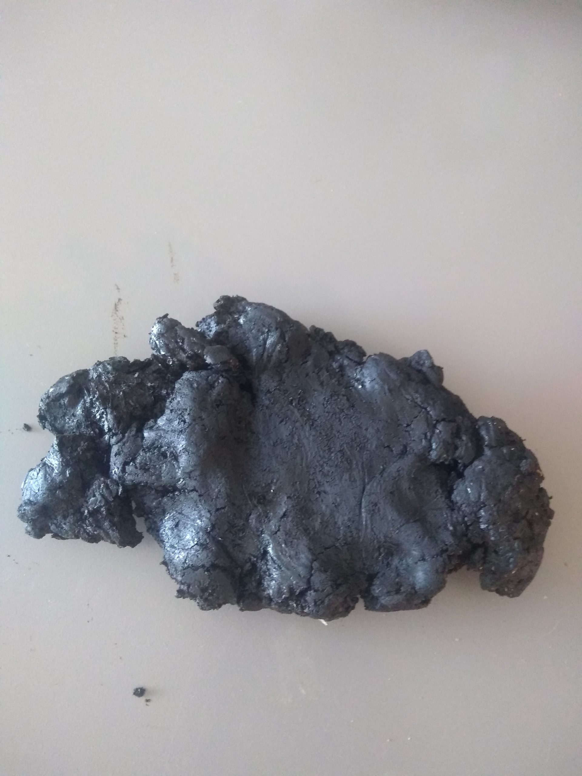
Tar sands at PR Spring range from the surface to 500 feet deep. The leases at PR Spring are specialized leases referred to as Combined Hydrocarbon Leases or CHLs.
These leases combine the deeper oil and gas rights and these shallower tar sand rights. The tar sands are much lower in sulfur content than those found in Canada. These tar sands are currently being produced by other operators in the basin.


